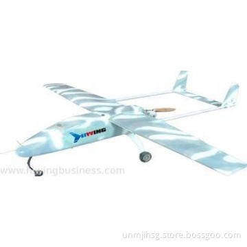

Rotary Wing Tactical Unmanned Aerial Vehicle With Real-Time
- Min. Order:
- 1
- Min. Order:
- 1
- Delivery Time:
- 30 Days
Your message must be between 20 to 2000 characters
Contact Now| Place of Origin: | Beijing, China |
|---|
Rotary Wing Tactical Unmanned Aerial Vehicle With Real-Time Transmission
Quick Details
UAV System is a kind of multi-use small middle and low altitude low speed UAV. It can carry video recording photoelectric pod, photo taking PTZ or targeting signal equipment, and can be used for such military mission as reconnaissance, field appraisal and target drone, as well as such civilian missions as aerial photography and surveying, meteorological sounding, environment monitoring, coast patrolling and oil pipeline check.
Application fields
Aerial photography, Aerial survey, Meteorology, Environment monitoring, Coastal guarding, Forest firefighting , Petroleum and Power pipeline patrol, etc.
Technical parameters
|
Specification |
Index |
Detail description |
|
standard Loading Weight |
1kg |
Maximum Loading 1.5kg |
|
Maximum Take-off Weight |
6.5kg |
|
|
Specification |
||
|
Specification |
Index |
|
|
Cruising speed |
5~10m/s |
can be hovering |
|
Endurance |
40min |
|
|
level speed |
14m/s |
|
|
Flying Height |
3000m |
|
|
Wind Resistance |
Level 5 |
|
|
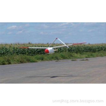
Take-off and Landing Function |
vertical take-off and landing |
|
|
Radio control radius |
3km |
|
|
Dimensions and characteristics |
||
|
Wheelbase |
1050mm |
|
|
Link indicators |
||
|
Measurement and control distance |
5km |
Sighting Condition |
|
Transmission Distance |
3km |
PAL, under Sighting Condition |
|
Manual Control |
1km |
Sighting Condition |
|
Environmental Suitability |
||
|
Working temperature |
-10℃~50℃ |
|
|
Environment Temperature |
-10℃~40℃ |
|
|
Loading |
||
|
Camera Loading |
· 1080p HD videography,10 x optical zoom optical zoom
|
Standard |
|
photograph Loading |
16.1 million pixels,CMOS sensor,Prime lens |
Optional |
Key words:
UAV
Aerial photography
Aerial survey, Meteorology
Environment monitoring
Coastal guarding
Forest firefighting
Petroleum and Power pipeline patrol